2013
SK7624 : Junction of School Lane and Church Street
taken 11 years ago, near to Scalford, Leicestershire, England
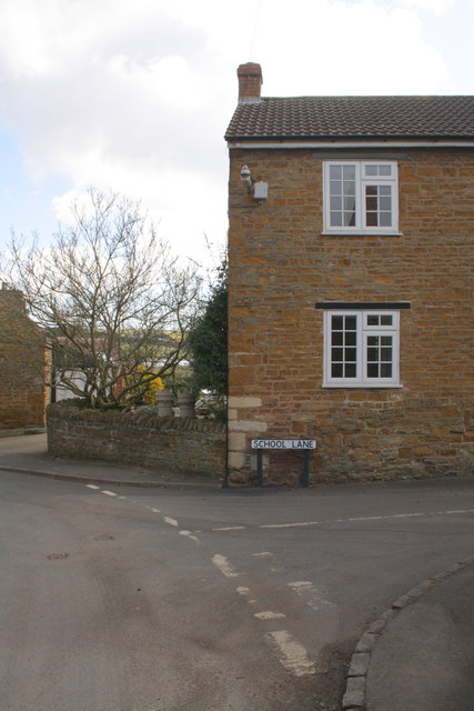
Junction of School Lane and Church Street
There is an OS flush bracket benchmark SK7624 : Benchmark on house on School Lane on the corner of the house left of the School Lane road name sign
 Map © Crown Copyright")
TIP: Click the map for more Large scale mapping
- Grid Square
- SK7624, 117 images (more nearby 🔍)
- Photographer
- Roger Templeman (more nearby)
- Date Taken
- Tuesday, 2 April, 2013 (more nearby)
- Submitted
- Sunday, 14 April, 2013
- Subject Location
-
OSGB36:
 SK 7633 2409 [10m precision]
WGS84: 52:48.5380N 0:52.1440W - Camera Location
-
OSGB36: SK 7633 2409
- View Direction
- EAST (about 90 degrees)