2012
SM9015 : Westhill Fold, Sutton
taken 12 years ago, near to Lambston, Pembrokeshire/Sir Benfro, Wales
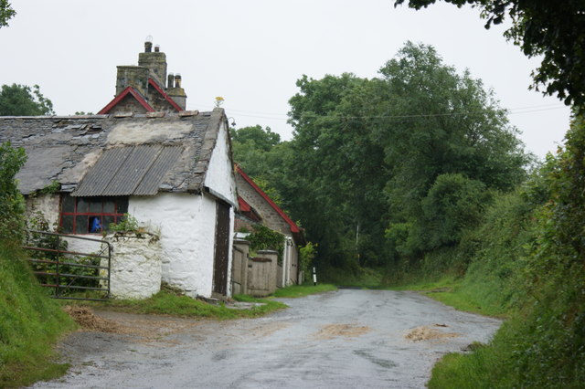
Westhill Fold, Sutton
 Map © Crown Copyright")
TIP: Click the map for more Large scale mapping
- Grid Square
- SM9015, 7 images (more nearby 🔍)
- Photographer
- Simon Mortimer (more nearby)
- Date Taken
- Friday, 17 August, 2012 (more nearby)
- Submitted
- Monday, 15 April, 2013
- Subject Location
-
OSGB36:
 SM 9092 1585 [10m precision]
WGS84: 51:48.1260N 5:2.0318W - Camera Location
-
OSGB36: SM 9091 1590
- View Direction
- SOUTH (about 180 degrees)