2007
NT6653 : Plantation and Pasture Land
taken 17 years ago, 5 km SW of Longformacus, Scottish Borders, Scotland
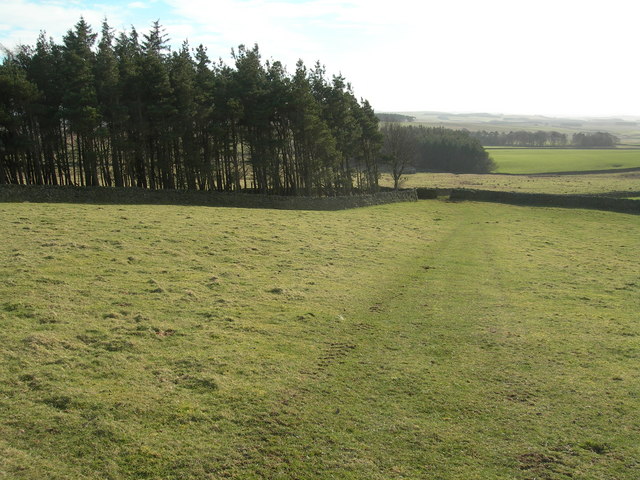
Plantation and Pasture Land
Heading downhill from Evelaw.
 Map © Crown Copyright")
TIP: Click the map for more Large scale mapping
- Grid Square
- NT6653, 2 images (more nearby 🔍)
- Photographer
- John Whelan (more nearby)
- Date Taken
- Sunday, 18 February, 2007 (more nearby)
- Submitted
- Sunday, 18 February, 2007
- Subject Location
-
OSGB36:
 NT 664 534 [100m precision]
WGS84: 55:46.3817N 2:32.2009W - Camera Location
-
OSGB36: NT 664 536
- View Direction
- SOUTH (about 180 degrees)