2013
TF8631 : Sculthorpe Airfield security fencing near Tatterford Longrow
taken 11 years ago, near to Dunton, Norfolk, England
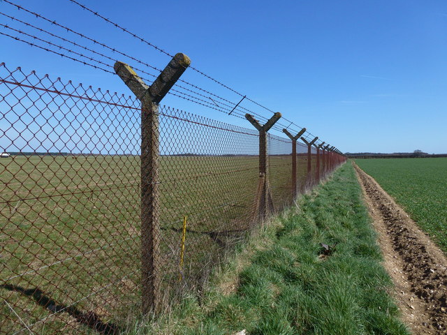
Sculthorpe Airfield security fencing near Tatterford Longrow
See Link (Archive Link ) for a history of the airfield
 Map © Crown Copyright")
TIP: Click the map for more Large scale mapping
- Grid Square
- TF8631, 7 images (more nearby 🔍)
- Photographer
- Richard Humphrey (more nearby)
- Date Taken
- Sunday, 21 April, 2013 (more nearby)
- Submitted
- Monday, 22 April, 2013
- Subject Location
-
OSGB36:
 TF 8698 3102 [10m precision]
WGS84: 52:50.6532N 0:46.4966E - Camera Location
-
OSGB36: TF 8697 3101
- View Direction
- Northeast (about 45 degrees)