2013
NH0566 : Boggy catchment
taken 11 years ago, 3 km from Heights of Kinlochewe, Highland, Scotland
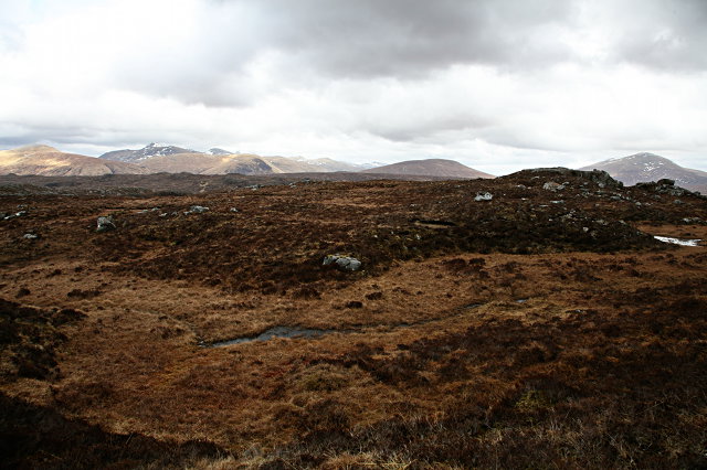
Boggy catchment
The sodden ground feeds Allt an Sgriòdain Ruaidh, and then Loch Chùilean Dubha.
 Map © Crown Copyright")
TIP: Click the map for more Large scale mapping
- Grid Square
- NH0566 (more nearby 🔍)
- Photographer
- Toby Speight (more nearby)
- Date Taken
- Saturday, 20 April, 2013 (more nearby)
- Submitted
- Tuesday, 23 April, 2013
- Subject Location
-
OSGB36:
 NH 0537 6667 [10m precision]
WGS84: 57:38.8660N 5:15.7848W - Camera Location
-
OSGB36: NH 05070 66663
- View Direction
- EAST (about 90 degrees)