2007
SX2761 : A38 Eastbound
taken 17 years ago, near to Horningtops, Cornwall, England
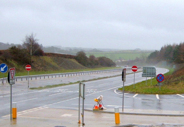
A38 Eastbound
The A38 and associated embankments can be clearly seen as depicted on the OS grid square for this part of the world.
 Map © Crown Copyright")
TIP: Click the map for more Large scale mapping
- Grid Square
- SX2761, 29 images (more nearby 🔍)
- Photographer
- BB (more nearby)
- Date Taken
- Monday, 19 February, 2007 (more nearby)
- Submitted
- Monday, 19 February, 2007
- Subject Location
-
OSGB36:
 SX 274 616 [100m precision]
WGS84: 50:25.7622N 4:25.8641W - Camera Location
-
OSGB36: SX 269 619
- View Direction
- Southeast (about 135 degrees)