2013
SW9975 : Road through Chapel Amble
taken 11 years ago, near to Chapel Amble, Cornwall, England
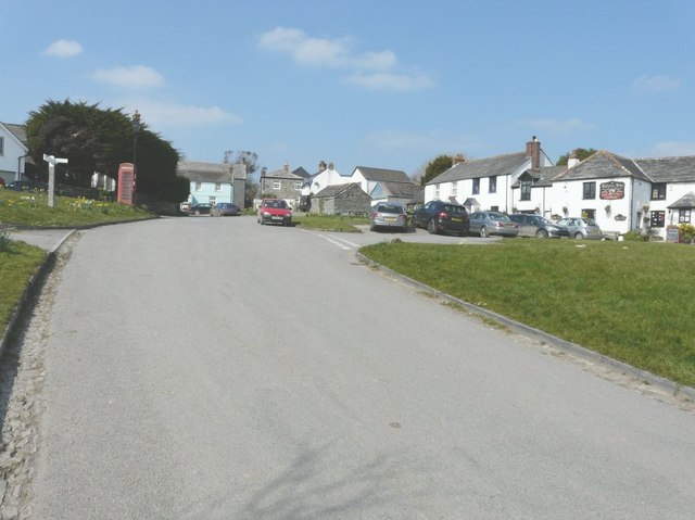
Road through Chapel Amble
On the right is The Maltsters Arms, dating from the 18th-century.
 Map © Crown Copyright")
TIP: Click the map for more Large scale mapping
- Grid Square
- SW9975, 15 images (more nearby 🔍)
- Photographer
- John Baker (more nearby)
- Date Taken
- Thursday, 28 March, 2013 (more nearby)
- Submitted
- Wednesday, 1 May, 2013
- Subject Location
-
OSGB36:
 SW 9972 7544 [10m precision]
WGS84: 50:32.6606N 4:49.6877W - Camera Location
-
OSGB36: SW 9974 7541
- View Direction
- North-northwest (about 337 degrees)