2013
TQ2165 : Old Malden Lane alongside Old Malden Common
taken 11 years ago, near to Tolworth, Kingston Upon Thames, England
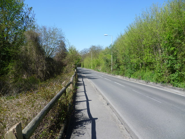
Old Malden Lane alongside Old Malden Common
Until the early 20th century, Old Malden Common used to extend across a considerably larger area to the east but most of this is now built over. Much of the old grassland has turned into scrub and woodland. In this view along Old Malden Lane, Old Malden Common stretches up the hill to the right, whilst a path on the left drops down to the River Hogsmill - see Link
 Map © Crown Copyright")
TIP: Click the map for more Large scale mapping
- Grid Square
- TQ2165, 33 images (more nearby 🔍)
- Photographer
- Marathon (more nearby)
- Date Taken
- Wednesday, 1 May, 2013 (more nearby)
- Submitted
- Thursday, 2 May, 2013
- Subject Location
-
OSGB36:
 TQ 2115 6596 [10m precision]
WGS84: 51:22.7863N 0:15.6360W - Camera Location
-
OSGB36: TQ 2116 6592
- View Direction
- NORTH (about 0 degrees)