2013
NR7751 : Forest track near Loch a' Ghatha
taken 11 years ago, 5 km SSE of Clachan, Argyll And Bute, Scotland
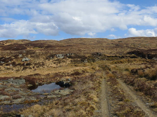
Forest track near Loch a' Ghatha
 Map © Crown Copyright")
TIP: Click the map for more Large scale mapping
- Grid Square
- NR7751, 2 images (more nearby 🔍)
- Photographer
- John Ferguson (more nearby)
- Date Taken
- Tuesday, 30 April, 2013 (more nearby)
- Submitted
- Thursday, 2 May, 2013
- Subject Location
-
OSGB36:
 NR 7771 5127 [10m precision]
WGS84: 55:42.2263N 5:32.3671W - Camera Location
-
OSGB36: NR 7769 5129
- View Direction
- Southeast (about 135 degrees)