2007
NX3837 : Fields on raised beach above Carleton Port
taken 17 years ago, 3 km from Glasserton, Dumfries And Galloway, Scotland
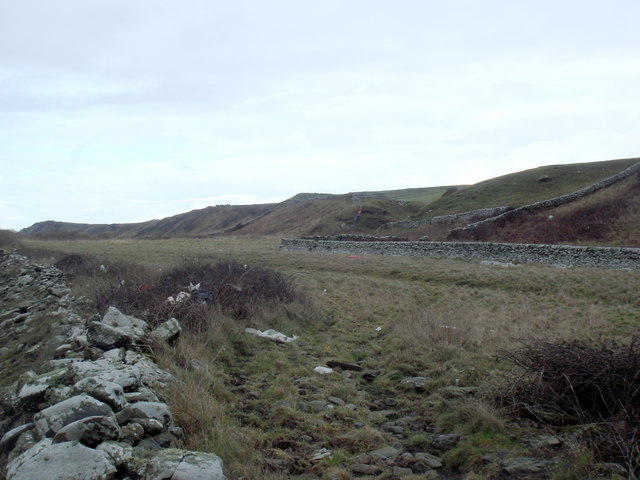
Fields on raised beach above Carleton Port
Beached Bird Survey walk
 Map © Crown Copyright")
TIP: Click the map for more Large scale mapping
- Grid Square
- NX3837, 5 images (more nearby 🔍)
- Photographer
- Les Dunford (more nearby)
- Date Taken
- Wednesday, 21 February, 2007 (more nearby)
- Submitted
- Wednesday, 21 February, 2007
- Subject Location
-
OSGB36:
 NX 386 378 [100m precision]
WGS84: 54:42.5714N 4:30.3964W - Camera Location
-
OSGB36: NX 389 374
- View Direction
- Northwest (about 315 degrees)