2005
SW9557 : Postwar housing on the eastern side of St Dennis
taken 19 years ago, near to St Dennis, Cornwall, England
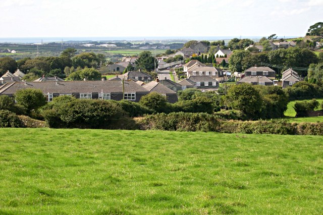
Postwar housing on the eastern side of St Dennis
 Map © Crown Copyright")
TIP: Click the map for more Large scale mapping
- Grid Square
- SW9557, 17 images (more nearby 🔍)
- Photographer
- Tony Atkin (more nearby)
- Date Taken
- Saturday, 17 September, 2005 (more nearby)
- Submitted
- Wednesday, 21 February, 2007
- Subject Location
-
OSGB36:
 SW 955 577 [100m precision]
WGS84: 50:23.0292N 4:52.6674W - Camera Location
-
OSGB36: SW 957 576
- View Direction
- West-northwest (about 292 degrees)