2013
SU7790 : Hamble Brook
taken 11 years ago, near to Skirmett, Buckinghamshire, England
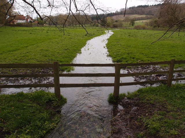
Hamble Brook
Flowing through a meadow in the village of Skirmett.
 Map © Crown Copyright")
TIP: Click the map for more Large scale mapping
- Grid Square
- SU7790, 90 images (more nearby 🔍)
- Photographer
- Michael Trolove (more nearby)
- Date Taken
- Sunday, 28 April, 2013 (more nearby)
- Submitted
- Thursday, 9 May, 2013
- Subject Location
-
OSGB36:
 SU 7750 9032 [10m precision]
WGS84: 51:36.3836N 0:52.9377W - Camera Location
-
OSGB36: SU 7751 9034
- View Direction
- South-southwest (about 202 degrees)