2007
NH6550 : Drynie Woodlands
taken 17 years ago, near to Drumderfit, Highland, Scotland
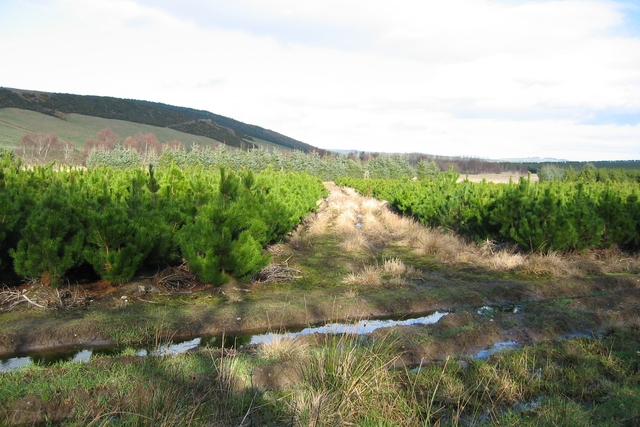
Drynie Woodlands
Part of a large 'tree farming' operation on Mains of Drynie farm.
 Map © Crown Copyright")
TIP: Click the map for more Large scale mapping
- Grid Square
- NH6550, 15 images (more nearby 🔍)
- Photographer
- John Allan (more nearby)
- Date Taken
- Tuesday, 20 February, 2007 (more nearby)
- Submitted
- Friday, 23 February, 2007
- Subject Location
-
OSGB36:
 NH 653 503 [100m precision]
WGS84: 57:31.4036N 4:15.0116W - Camera Location
-
OSGB36: NH 653 502
- View Direction
- NORTH (about 0 degrees)