2013
NU0601 : River Coquet below Rothbury
taken 11 years ago, near to Rothbury, Northumberland, England
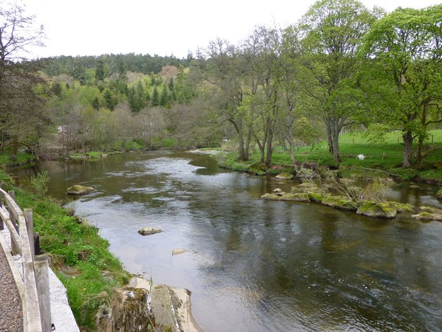
River Coquet below Rothbury
The Debdon Burn from Cragside joins on the right.
 Map © Crown Copyright")
TIP: Click the map for more Large scale mapping
- Grid Square
- NU0601, 73 images (more nearby 🔍)
- Photographer
- Russel Wills (more nearby)
- Date Taken
- Saturday, 11 May, 2013 (more nearby)
- Submitted
- Saturday, 11 May, 2013
- Subject Location
-
OSGB36:
 NU 0695 0164 [10m precision]
WGS84: 55:18.5282N 1:53.5236W - Camera Location
-
OSGB36: NU 06908 01625
- View Direction
- East-northeast (about 67 degrees)