2013
NU1416 : Shipley Burn
taken 11 years ago, 4 km NNE of Abberwick, Northumberland, England
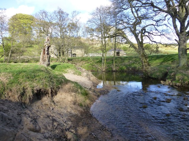
Shipley Burn
With Shipley farm buildings across the burn.
 Map © Crown Copyright")
TIP: Click the map for more Large scale mapping
- Grid Square
- NU1416, 16 images (more nearby 🔍)
- Photographer
- Russel Wills (more nearby)
- Date Taken
- Monday, 13 May, 2013 (more nearby)
- Submitted
- Monday, 13 May, 2013
- Subject Location
-
OSGB36:
 NU 1459 1685 [10m precision]
WGS84: 55:26.7184N 1:46.2550W - Camera Location
-
OSGB36: NU 14578 16845
- View Direction
- East-northeast (about 67 degrees)