2013
NS1298 : Hill access from Invernoaden
taken 11 years ago, near to Invernoaden, Argyll And Bute, Scotland
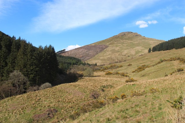
Hill access from Invernoaden
An unplanted band between forestry blocks. Carnach Mòr is the hill.
 Map © Crown Copyright")
TIP: Click the map for more Large scale mapping
- Grid Square
- NS1298, 6 images (more nearby 🔍)
- Photographer
- Alan Reid (more nearby)
- Date Taken
- Friday, 17 May, 2013 (more nearby)
- Submitted
- Saturday, 18 May, 2013
- Subject Location
-
OSGB36:
 NS 1265 9841 [10m precision]
WGS84: 56:8.4896N 5:1.0201W - Camera Location
-
OSGB36: NS 1221 9809
- View Direction
- Northeast (about 45 degrees)