2002
TQ2542 : A field of oilseed rape
taken 22 years ago, near to Norwood Hill, Surrey, England
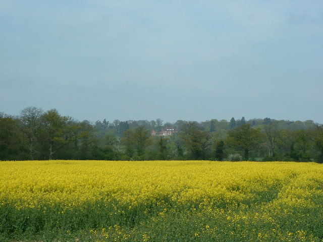
A field of oilseed rape
A field of oilseed rape. Large house at Norwood Hill in the background.
 Map © Crown Copyright")
TIP: Click the map for more Large scale mapping
- Grid Square
- TQ2542, 17 images (more nearby 🔍)
- Photographer
- James Insell (more nearby)
- Date Taken
- Sunday, 21 April, 2002 (more nearby)
- Submitted
- Sunday, 7 August, 2005
- Subject Location
-
OSGB36:
 TQ 251 425 [100m precision]
WGS84: 51:10.0843N 0:12.7245W