2013
TQ7556 : River Medway, Whatman Park Footbridge
taken 11 years ago, near to Maidstone, Kent, England
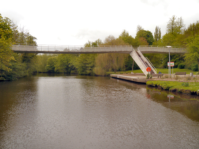
River Medway, Whatman Park Footbridge
The River Medway is 70 miles long and flows almost entirely within Kent. It rises in Ashdown Forest and joins the Thames near Chatham. Apart from the Thames it has the largest catchment area in southern England. The river is navigable as far as Tonbridge by large craft and as far as Penshurst by small craft. There are 11 locks on the river, between Allington and Tonbridge. The river is tidal to Allington Lock. The River divides Kent in two, those born west of the river are known as Kentish Men, whilst those born east of the river are Men of Kent. The river was used as a line of defence against possible invasion during WWII.
See other images of River Medway
See other images of River Medway
 Map © Crown Copyright")
TIP: Click the map for more Large scale mapping
- Grid Square
- TQ7556, 286 images (more nearby 🔍)
- Photographer
- David Dixon (more nearby)
- Date Taken
- Tuesday, 14 May, 2013 (more nearby)
- Submitted
- Tuesday, 21 May, 2013
- Subject Location
-
OSGB36:
 TQ 75480 56477 [1m precision]
WGS84: 51:16.8244N 0:30.8826E - Camera Location
-
OSGB36: TQ 7548 5662
- View Direction
- SOUTH (about 180 degrees)