2005
SK6457 : Southwell Trail
taken 19 years ago, near to Farnsfield, Nottinghamshire, England
This is 1 of 3 images, with title Southwell Trail in this square
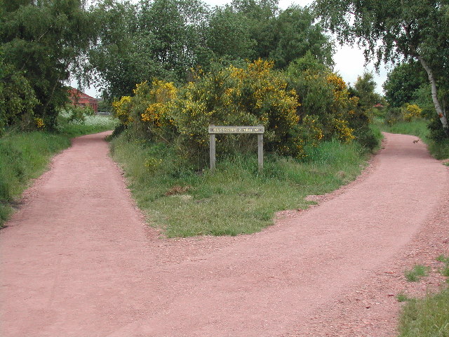
Southwell Trail
A junction 2 miles south of Bilsthorpe. Note the posing rabbit on the path, righthand side middle
 Map © Crown Copyright")
TIP: Click the map for more Large scale mapping
- Grid Square
- SK6457, 53 images (more nearby 🔍)
- Photographer
- Tom Courtney (more nearby)
- Date Taken
- Tuesday, 31 May, 2005 (more nearby)
- Submitted
- Sunday, 7 August, 2005
- Subject Location
-
OSGB36:
 SK 644 572 [100m precision]
WGS84: 53:6.4867N 1:2.3671W