2007
NS4424 : River Ayr Way Wellflat Bank
taken 17 years ago, near to Stair, South Ayrshire, Scotland
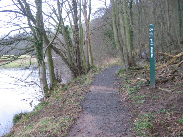
River Ayr Way Wellflat Bank
 Map © Crown Copyright")
TIP: Click the map for more Large scale mapping
- Grid Square
- NS4424, 7 images (more nearby 🔍)
- Photographer
- Chris Wimbush (more nearby)
- Date Taken
- Saturday, 24 February, 2007 (more nearby)
- Submitted
- Sunday, 25 February, 2007
- Subject Location
-
OSGB36:
 NS 441 241 [100m precision]
WGS84: 55:29.1801N 4:28.0533W - Camera Location
-
OSGB36: NS 441 241
- View Direction
- WEST (about 270 degrees)