2013
NT8837 : Path to Flodden Field Monument
taken 11 years ago, near to Branxton, Northumberland, England
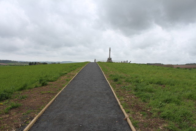
Path to Flodden Field Monument
 Map © Crown Copyright")
TIP: Click the map for more Large scale mapping
- Grid Square
- NT8837, 75 images (more nearby 🔍)
- Photographer
- Billy McCrorie (more nearby)
- Date Taken
- Friday, 24 May, 2013 (more nearby)
- Submitted
- Monday, 27 May, 2013
- Subject Location
-
OSGB36:
 NT 8895 3725 [10m precision]
WGS84: 55:37.7217N 2:10.6231W - Camera Location
-
OSGB36: NT 8892 3724
- View Direction
- East-northeast (about 67 degrees)