2013
NU1328 : Footpath across arable field, Warenford
taken 11 years ago, near to Warenford, Northumberland, England
This is 1 of 2 images, with title starting with Footpath in this square
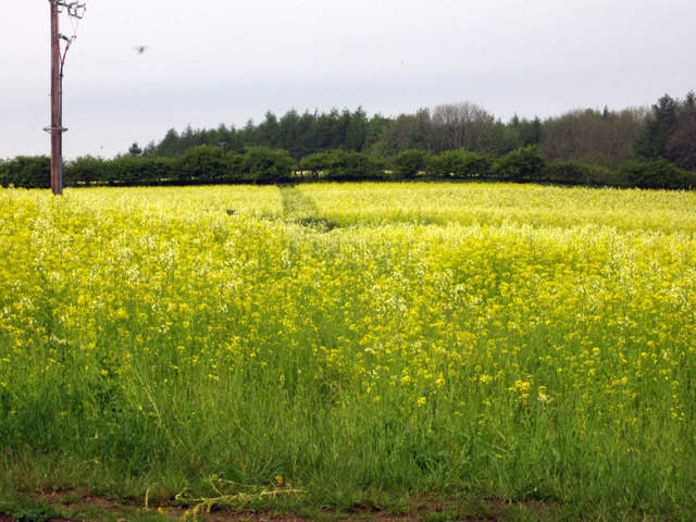
Footpath across arable field, Warenford
Looking along a footpath across an arable field. The line of the footpath is visible in the crop, but I decided against trying to wade through the flowering oilseed rape and walked along the field boundary and used an adjacent farm track instead.
 Map © Crown Copyright")
TIP: Click the map for more Large scale mapping
- Grid Square
- NU1328, 53 images (more nearby 🔍)
- Photographer
- Graham Robson (more nearby)
- Date Taken
- Tuesday, 28 May, 2013 (more nearby)
- Submitted
- Tuesday, 28 May, 2013
- Subject Location
-
OSGB36:
 NU 1351 2836 [10m precision]
WGS84: 55:32.9256N 1:47.2460W - Camera Location
-
OSGB36: NU 1353 2837
- View Direction
- West-southwest (about 247 degrees)