1986
NX4759 : Depths of Kirkcudbrightshire near Creetown
taken 38 years ago, near to Creetown, Dumfries And Galloway, Scotland
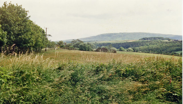
Depths of Kirkcudbrightshire near Creetown
Eastward up the valley of the Moneypool Brook, along the course of the former Dumfries - Stranraer main railway at Creetown station - all closed 14/6/65. The hill is probably Pibble Hill. (See also NX4759 : Site of Creetown station, 1986).
 Map © Crown Copyright")
TIP: Click the map for more Large scale mapping
- Grid Square
- NX4759, 59 images (more nearby 🔍)
- Photographer
- Ben Brooksbank (more nearby)
- Date Taken
- Monday, 7 July, 1986 (more nearby)
- Submitted
- Tuesday, 4 June, 2013
- Subject Location
-
OSGB36:
 NX 4730 5998 [10m precision]
WGS84: 54:54.6668N 4:23.0124W - Camera Location
-
OSGB36: NX 4730 5999
- View Direction
- East-northeast (about 67 degrees)