2013
NZ0812 : Lane east of minor road
taken 11 years ago, near to Greta Bridge, County Durham, England
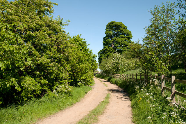
Lane east of minor road
The location is east of the minor road connecting the village of Barningham with the A66 and is close to the River Greta; the lane, from mapping, appears simply to be an access route for a field.
 Map © Crown Copyright")
TIP: Click the map for more Large scale mapping
- Grid Square
- NZ0812, 12 images (more nearby 🔍)
- Photographer
- Trevor Littlewood (more nearby)
- Date Taken
- Tuesday, 4 June, 2013 (more nearby)
- Submitted
- Tuesday, 4 June, 2013
- Subject Location
-
OSGB36:
 NZ 0883 1276 [10m precision]
WGS84: 54:30.6044N 1:51.9081W - Camera Location
-
OSGB36: NZ 0873 1278
- View Direction
- EAST (about 90 degrees)