2007
TQ2554 : The Mugswell Mission Hall
taken 17 years ago, 3 km from Kingswood, Surrey, England
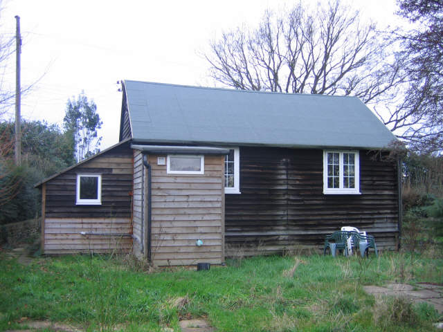
The Mugswell Mission Hall
This unpretentious shed is the parish hall for the extensive parish of Chipstead (the church itself is nearer Hooley) and was once used for worship.
 Map © Crown Copyright")
TIP: Click the map for more Large scale mapping
- Grid Square
- TQ2554, 39 images (more nearby 🔍)
- Photographer
- Stephen Craven (more nearby)
- Date Taken
- Thursday, 4 January, 2007 (more nearby)
- Submitted
- Wednesday, 28 February, 2007
- Subject Location
-
OSGB36:
 TQ 259 547 [100m precision]
WGS84: 51:16.6742N 0:11.7806W - Camera Location
-
OSGB36: TQ 259 547
- View Direction
- West-northwest (about 292 degrees)