2013
NY8070 : In Sewingshields Woods
taken 11 years ago, near to Halleypike Lough [water Feature], Northumberland, Great Britain
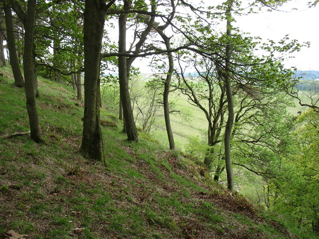
In Sewingshields Woods
Seen from the Hadrian's Wall Path. The steep north-facing slopes provided the Romans with a natural defensive line.
 Map © Crown Copyright")
TIP: Click the map for more Large scale mapping
- Grid Square
- NY8070, 68 images (more nearby 🔍)
- Photographer
- David Purchase (more nearby)
- Date Taken
- Monday, 27 May, 2013 (more nearby)
- Submitted
- Saturday, 8 June, 2013
- Subject Location
-
OSGB36:
 NY 8065 7027 [10m precision]
WGS84: 55:1.5949N 2:18.2531W - Camera Location
-
OSGB36: NY 8080 7027
- View Direction
- WEST (about 270 degrees)