2013
SE0324 : Broad Lane
taken 11 years ago, near to Sowerby, Calderdale, England
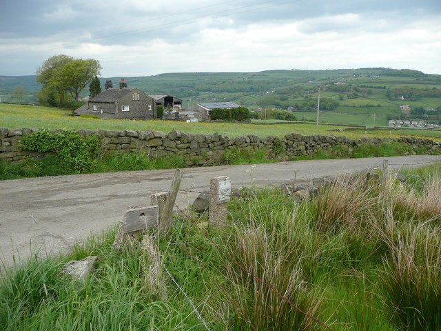
Broad Lane
Looking across the corner of a water main interchange area. Shroggs Farm is in the distance.
 Map © Crown Copyright")
TIP: Click the map for more Large scale mapping
- Grid Square
- SE0324, 98 images (more nearby 🔍)
- Photographer
- Humphrey Bolton (more nearby)
- Date Taken
- Monday, 27 May, 2013 (more nearby)
- Submitted
- Sunday, 9 June, 2013
- Subject Location
-
OSGB36:
 SE 0320 2426 [10m precision]
WGS84: 53:42.8848N 1:57.1795W - Camera Location
-
OSGB36: SE 0319 2424
- View Direction
- North-northeast (about 22 degrees)