2013
NY9191 : Farm track near Monkridge
taken 11 years ago, near to Raylees, Northumberland, England
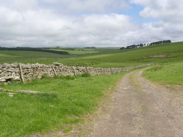
Farm track near Monkridge
Also a public bridleway, part of the Border County Ride.
 Map © Crown Copyright")
TIP: Click the map for more Large scale mapping
- Grid Square
- NY9191, 41 images (more nearby 🔍)
- Photographer
- Alan Murray-Rust (more nearby)
- Date Taken
- Wednesday, 12 June, 2013 (more nearby)
- Submitted
- Friday, 14 June, 2013
- Subject Location
-
OSGB36:
 NY 9145 9178 [10m precision]
WGS84: 55:13.2105N 2:8.1561W - Camera Location
-
OSGB36: NY 91427 91766
- View Direction
- East-northeast (about 67 degrees)