2007
SU7318 : Gorecombe Hole
taken 17 years ago, near to Buriton, Hampshire, England
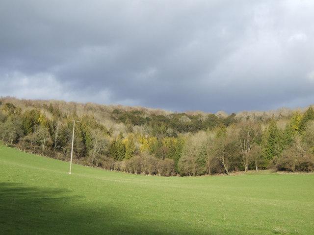
Gorecombe Hole
The name of the fold in the dry valley high up in the South Downs north of Havant. Note the delightful mixture of tree species.
 Map © Crown Copyright")
TIP: Click the map for more Large scale mapping
- Grid Square
- SU7318, 14 images (more nearby 🔍)
- Photographer
- Jonathan Billinger (more nearby)
- Date Taken
- Thursday, 1 March, 2007 (more nearby)
- Submitted
- Friday, 2 March, 2007
- Subject Location
-
OSGB36:
 SU 734 187 [100m precision]
WGS84: 50:57.7942N 0:57.3708W - Camera Location
-
OSGB36: SU 731 185
- View Direction
- Northeast (about 45 degrees)