2007
NY1299 : Depression east of Rispie Hill
taken 17 years ago, near to Poldean, Dumfries And Galloway, Scotland
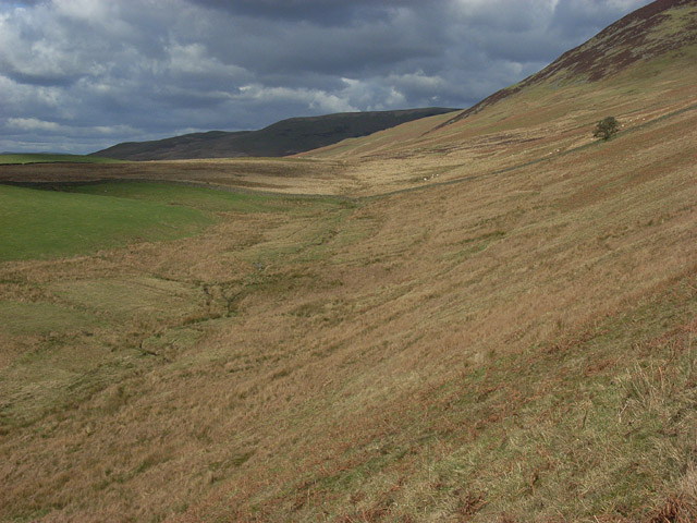
Depression east of Rispie Hill
Containing the upper reaches of Coomb Burn. Breckonside Hill is in the background.
 Map © Crown Copyright")
TIP: Click the map for more Large scale mapping
- Grid Square
- NY1299, 3 images (more nearby 🔍)
- Photographer
- Andrew Smith (more nearby)
- Date Taken
- Monday, 26 February, 2007 (more nearby)
- Submitted
- Friday, 2 March, 2007
- Subject Location
-
OSGB36:
 NY 123 994 [100m precision]
WGS84: 55:16.8538N 3:22.9320W - Camera Location
-
OSGB36: NY 124 991
- View Direction
- North-northwest (about 337 degrees)