2013
SK8918 : Farmland with bridleway
taken 11 years ago, near to Thistleton, Rutland, England
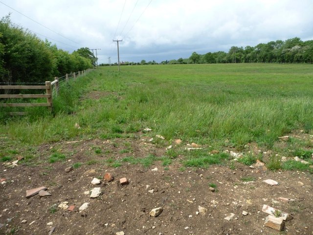
Farmland with bridleway
Immediately west of Cribb's Meadow nature reserve [and with a lot less flowers].
 Map © Crown Copyright")
TIP: Click the map for more Large scale mapping
- Grid Square
- SK8918, 49 images (more nearby 🔍)
- Photographer
- Christine Johnstone (more nearby)
- Date Taken
- Friday, 14 June, 2013 (more nearby)
- Submitted
- Tuesday, 18 June, 2013
- Subject Location
-
OSGB36:
 SK 8979 1872 [10m precision]
WGS84: 52:45.5182N 0:40.2546W - Camera Location
-
OSGB36: SK 8983 1871
- View Direction
- WEST (about 270 degrees)