2007
TR3459 : Area known as Upper Salts
taken 17 years ago, near to Great Stonar, Kent, England
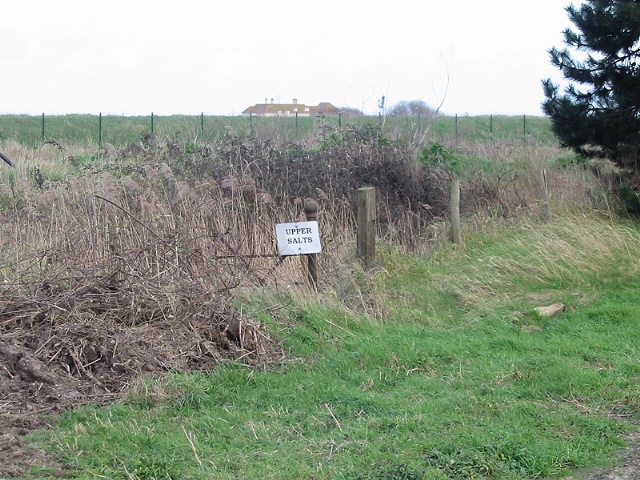
Area known as Upper Salts
The roof of the disused clubhouse for Prince's golf course can be seen in background.
 Map © Crown Copyright")
TIP: Click the map for more Large scale mapping
- Grid Square
- TR3459, 23 images (more nearby 🔍)
- Photographer
- Nick Smith (more nearby)
- Date Taken
- Friday, 2 March, 2007 (more nearby)
- Submitted
- Saturday, 3 March, 2007
- Subject Location
-
OSGB36:
 TR 349 593 [100m precision]
WGS84: 51:17.0623N 1:22.0303E - Camera Location
-
OSGB36: TR 348 593
- View Direction
- EAST (about 90 degrees)