2013
ST3005 : Cattle pasture, Huntley Lane
taken 11 years ago, near to Chardstock, Devon, England
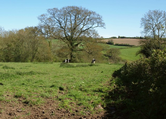
Cattle pasture, Huntley Lane
The field drops into the valley of a tributary of the Kit, surrounded by woodland.
 Map © Crown Copyright")
TIP: Click the map for more Large scale mapping
- Grid Square
- ST3005, 16 images (more nearby 🔍)
- Photographer
- Derek Harper (more nearby)
- Date Taken
- Thursday, 16 May, 2013 (more nearby)
- Submitted
- Thursday, 20 June, 2013
- Subject Location
-
OSGB36:
 ST 3095 0582 [10m precision]
WGS84: 50:50.8657N 2:58.9313W - Camera Location
-
OSGB36: ST 3088 0587
- View Direction
- Southeast (about 135 degrees)