2013
SN9209 : Ruins of Cilhepste-cerig
taken 11 years ago, 3 km from Penderyn, Rhondda Cynon Taf, Wales
This is 1 of 2 images, with title Ruins of Cilhepste-cerig in this square
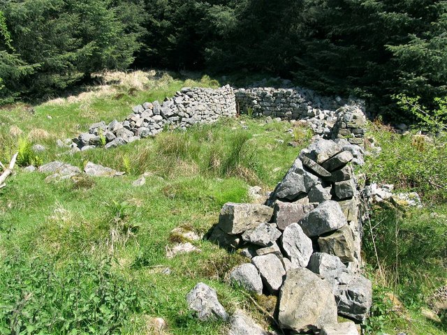
Ruins of Cilhepste-cerig
The abandoned farm buildings of Cilhepste-cerig are one of two separate stone ruins beside this path from Craig y Ddinas to Sgwd yr Eira.
The other is SN9209 : Ruins of Cilhepste-fach
See also Link (Archive Link )
The other is SN9209 : Ruins of Cilhepste-fach
See also Link
 Map © Crown Copyright")
TIP: Click the map for more Large scale mapping
- Grid Square
- SN9209, 67 images (more nearby 🔍)
- Photographer
- Nigel Davies (more nearby)
- Date Taken
- Sunday, 26 May, 2013 (more nearby)
- Submitted
- Sunday, 23 June, 2013
- Subject Location
-
OSGB36:
 SN 9247 0911 [10m precision]
WGS84: 51:46.2182N 3:33.5866W - Camera Location
-
OSGB36: SN 9247 0911
- View Direction
- EAST (about 90 degrees)