2007
SP5013 : Flooded field, view from bridge over A34
taken 17 years ago, near to Kidlington, Oxfordshire, England
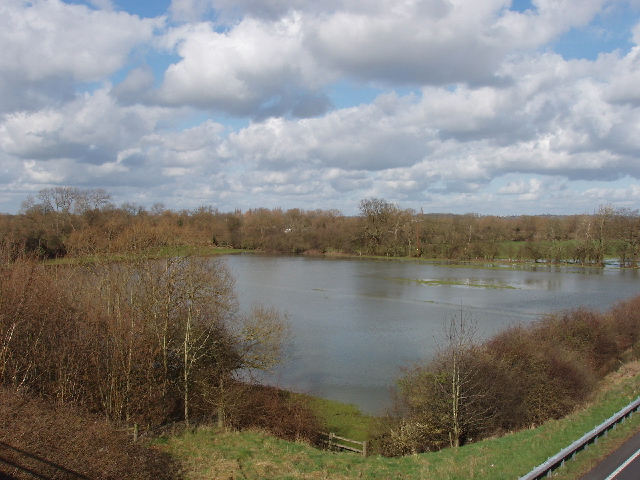
Flooded field, view from bridge over A34
The field is on the West side of the A34, close to the River Cherwell.
 Map © Crown Copyright")
TIP: Click the map for more Large scale mapping
- Grid Square
- SP5013, 34 images (more nearby 🔍)
- Photographer
- David Hawgood (more nearby)
- Date Taken
- Friday, 2 March, 2007 (more nearby)
- Submitted
- Saturday, 3 March, 2007
- Subject Location
-
OSGB36:
 SP 507 133 [100m precision]
WGS84: 51:48.9891N 1:15.9367W - Camera Location
-
OSGB36: SP 507 132
- View Direction
- North-northwest (about 337 degrees)