2013
NT9058 : Field Track - Between Blackburn and Edington Hill
taken 11 years ago, 3 km from Foulden, Scottish Borders, Scotland
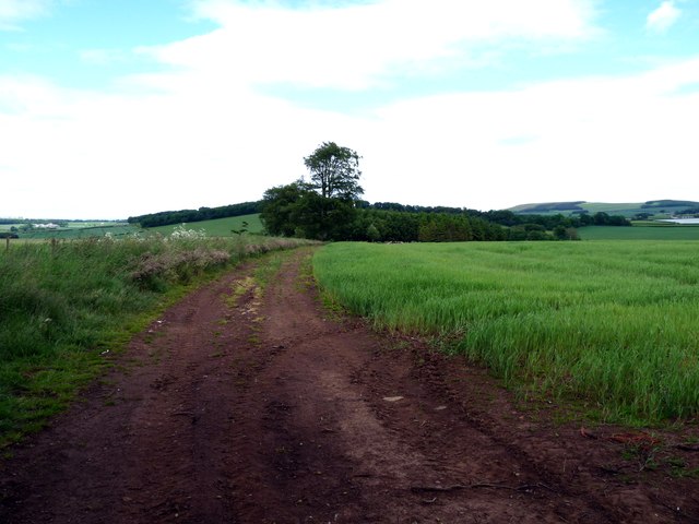
Field Track - Between Blackburn and Edington Hill
All that remains of Tom Long Strip marked on OS map.
 Map © Crown Copyright")
TIP: Click the map for more Large scale mapping
- Grid Square
- NT9058, 13 images (more nearby 🔍)
- Photographer
- cathietinn (more nearby)
- Date Taken
- Monday, 24 June, 2013 (more nearby)
- Submitted
- Monday, 24 June, 2013
- Subject Location
-
OSGB36:
 NT 9030 5834 [10m precision]
WGS84: 55:49.0931N 2:9.3821W - Camera Location
-
OSGB36: NT 9020 5825
- View Direction
- Northeast (about 45 degrees)