2007
NH6662 : Fields of Brae Farm
taken 17 years ago, near to Cullicudden, Highland, Scotland
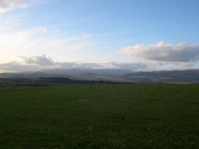
Fields of Brae Farm
These are the highest fields before the forestry plantations.
 Map © Crown Copyright")
TIP: Click the map for more Large scale mapping
- Grid Square
- NH6662, 5 images (more nearby 🔍)
- Photographer
- Julian Paren (more nearby)
- Date Taken
- Monday, 26 February, 2007 (more nearby)
- Submitted
- Saturday, 3 March, 2007
- Subject Location
-
OSGB36:
 NH 660 625 [100m precision]
WGS84: 57:37.9917N 4:14.7055W - Camera Location
-
OSGB36: NH 661 625
- View Direction
- West-northwest (about 292 degrees)