2013
TQ5567 : Bend, Darenth Valley Path
taken 11 years ago, near to Farningham, Kent, England
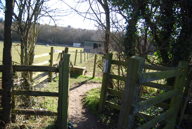
Bend, Darenth Valley Path
A 19 mile (30 Km) walk along the River Darent starting at Sevenoaks Station and finishing at Crayford Ness.
The River Darent flows from its source in the Greensand hills, south of Westerham, to join the Thames, north of Dartford. The walk is through a varied landscape of riverside fringed with ancient willows, hop gardens and cornfields, secretive woodlands, downland carpeted with wild flowers and expanses of marshland and has the added attractions of Roman remains, majestic viaducts, historic houses, old mills and picturesque villages with beautiful churches. There is an alternative start point at Chipstead (TQ500561).
See Link
See other images of Darent Valley Path
 Map © Crown Copyright")
TIP: Click the map for more Large scale mapping
- Grid Square
- TQ5567, 92 images (more nearby 🔍)
- Photographer
- N Chadwick (more nearby)
- Date Taken
- Tuesday, 2 April, 2013 (more nearby)
- Submitted
- Monday, 24 June, 2013
- Subject Location
-
OSGB36:
 TQ 5544 6732 [10m precision]
WGS84: 51:23.0188N 0:13.9408E - Camera Location
-
OSGB36: TQ 5546 6735
- View Direction
- Southwest (about 225 degrees)