2005
J5475 : The "Four Roads" Drumahwey
taken 19 years ago, 3 km from Six Road End, Co Down, Northern Ireland
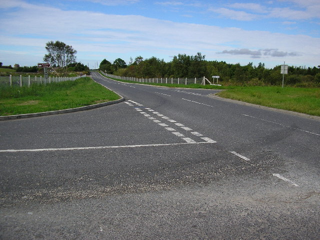
The "Four Roads" Drumahwey
The road in the centre is Movilla Road which leads to Newtownards. The road to the right is Upper Gransha Road which leads to the Six Road Ends and Bangor. That on the left is Ballyblack Road East which goes towards Carrowdore.The road in the foreground is Killaughey Road leading to Donaghadee. The junction is roughly equidistant to all four towns but I'm open to correction on that.
Loading map... (JavaScript required)
- Grid Square
- J5475, 5 images (more nearby 🔍)
- Photographer
- Dennis Reynolds (more nearby)
- Date Taken
- Sunday, 7 August, 2005 (more nearby)
- Submitted
- Tuesday, 9 August, 2005
- Subject Location
-
Irish:
 J 54784 75976 [1m precision]
WGS84: 54:36.4964N 5:36.3098W