2013
SD6086 : Dry stone wall junction on road opposite Egholme Peat Moss
taken 11 years ago, near to Middleton, Cumbria, England
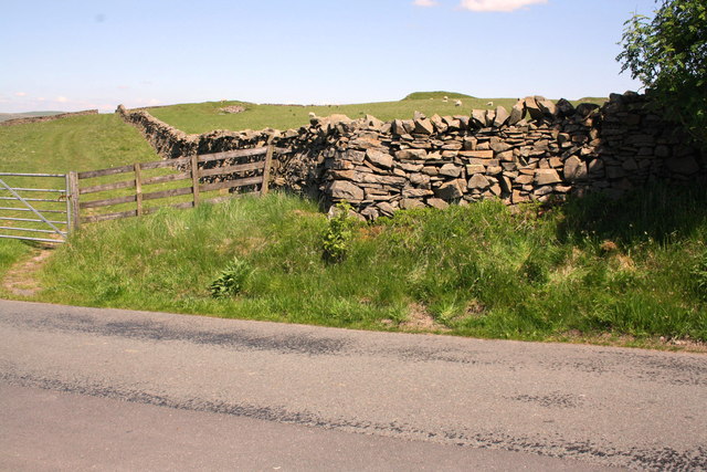
Dry stone wall junction on road opposite Egholme Peat Moss
There is an OS benchmark SD6086 : Benchmark at NE side of road, Egholme Peat Moss on a stone at the base of the wall 2m right of the angle
 Map © Crown Copyright")
TIP: Click the map for more Large scale mapping
- Grid Square
- SD6086, 18 images (more nearby 🔍)
- Photographer
- Roger Templeman (more nearby)
- Date Taken
- Tuesday, 4 June, 2013 (more nearby)
- Submitted
- Sunday, 30 June, 2013
- Subject Location
-
OSGB36:
 SD 6026 8625 [10m precision]
WGS84: 54:16.2209N 2:36.7024W - Camera Location
-
OSGB36: SD 6026 8625
- View Direction
- Northeast (about 45 degrees)