2013
SD6490 : Road over Holme Fell
taken 11 years ago, near to Millthrop, Cumbria, England
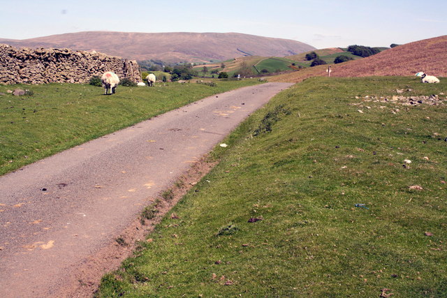
Road over Holme Fell
 Map © Crown Copyright")
TIP: Click the map for more Large scale mapping
- Grid Square
- SD6490, 61 images (more nearby 🔍)
- Photographer
- Roger Templeman (more nearby)
- Date Taken
- Tuesday, 4 June, 2013 (more nearby)
- Submitted
- Monday, 1 July, 2013
- Subject Location
-
OSGB36:
 SD 6433 9060 [10m precision]
WGS84: 54:18.5845N 2:32.9841W - Camera Location
-
OSGB36: SD 6423 9060
- View Direction
- EAST (about 90 degrees)