2005
SU4871 : Farmland near Curridge: Lanolee Farm
taken 19 years ago, near to Curridge, West Berkshire, England
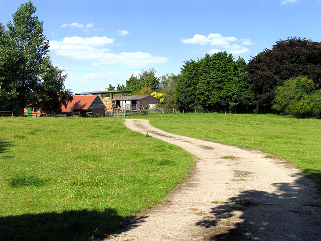
Farmland near Curridge: Lanolee Farm
This farm is on the north east side of Marsh Lane, in the north eastern section of the square. The square is all farmland, with some residences spread around the area.
 Map © Crown Copyright")
TIP: Click the map for more Large scale mapping
- Grid Square
- SU4871, 20 images (more nearby 🔍)
- Photographer
- Pam Brophy (more nearby)
- Date Taken
- Monday, 8 August, 2005 (more nearby)
- Submitted
- Tuesday, 9 August, 2005
- Subject Location
-
OSGB36:
 SU 48847 71702 [1m precision]
WGS84: 51:26.5327N 1:17.9146W