2007
NS6929 : Linburn Farm
taken 17 years ago, 3 km from Muirkirk, East Ayrshire, Scotland
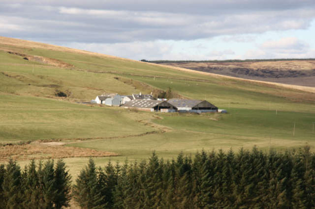
Linburn Farm
The farm raises beef cattle and sheep. It is located on the southeast facing slopes of Middlefield Law (NS6830) and above the floodplain of the Greenock Water.
 Map © Crown Copyright")
TIP: Click the map for more Large scale mapping
- Grid Square
- NS6929, 28 images (more nearby 🔍)
- Photographer
- Bob Forrest (more nearby)
- Date Taken
- Monday, 26 February, 2007 (more nearby)
- Submitted
- Sunday, 4 March, 2007
- Subject Location
-
OSGB36:
 NS 696 298 [100m precision]
WGS84: 55:32.7085N 4:4.0964W - Camera Location
-
OSGB36: NS 697 290
- View Direction
- North-northwest (about 337 degrees)