2013
SD7260 : Crutchenber Fell trig point
taken 11 years ago, near to Crutchenber Fell [other Features], Lancashire, Great Britain
This is 1 of 3 images, with title starting with Crutchenber in this square
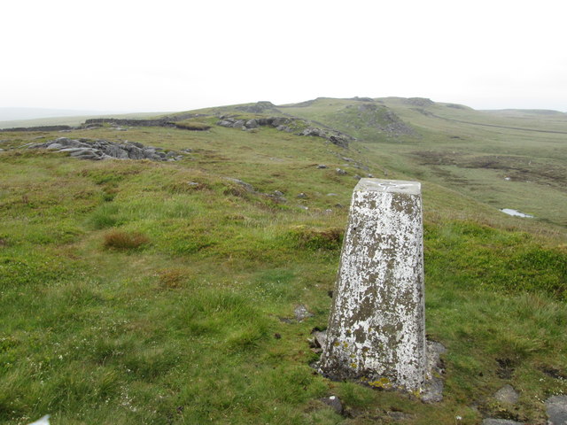
Crutchenber Fell trig point
 Map © Crown Copyright")
TIP: Click the map for more Large scale mapping
- Grid Square
- SD7260, 63 images (more nearby 🔍)
- Photographer
- John Slater (more nearby)
- Date Taken
- Monday, 1 July, 2013 (more nearby)
- Submitted
- Wednesday, 3 July, 2013
- Subject Location
-
OSGB36:
 SD 7226 6038 [10m precision]
WGS84: 54:2.3187N 2:25.5038W - Camera Location
-
OSGB36: SD 7218 6026
- View Direction
- Northeast (about 45 degrees)