2013
SX4061 : Field by Clarke's Lake
taken 11 years ago, near to Botusfleming, Cornwall, England
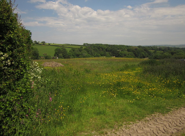
Field by Clarke's Lake
Clarke's Lake is the stream running at the foot of this field, most of which is in SX4161. Footpath 636/6/1 runs across the centre of the field, but seems to give up when it reaches the stream.
 Map © Crown Copyright")
TIP: Click the map for more Large scale mapping
- Grid Square
- SX4061, 73 images (more nearby 🔍)
- Photographer
- Derek Harper (more nearby)
- Date Taken
- Friday, 7 June, 2013 (more nearby)
- Submitted
- Friday, 5 July, 2013
- Subject Location
-
OSGB36:
 SX 4098 6105 [10m precision]
WGS84: 50:25.6630N 4:14.4115W - Camera Location
-
OSGB36: SX 4093 6100
- View Direction
- Northeast (about 45 degrees)