2013
HU3372 : Roe Brecks
taken 11 years ago, near to Gaza, Mainland, Shetland Islands, Scotland
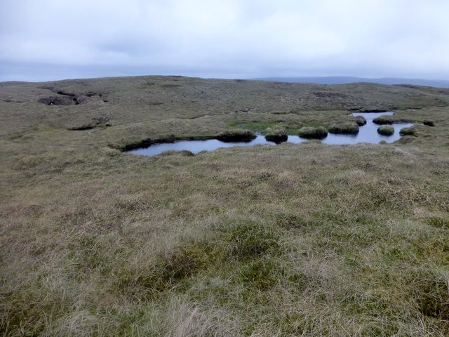
Roe Brecks
Bagged with Tricky Speirs.
Name: Roe Brecks
Hill number: 103896
Height: 108m / 354ft
Area: 22: Shetland Islands
Class: 1
Grid ref: HU335729 (est)
Drop: 55m
Col: 53m
Name: Roe Brecks
Hill number: 103896
Height: 108m / 354ft
Area: 22: Shetland Islands
Class: 1
Grid ref: HU335729 (est)
Drop: 55m
Col: 53m
 Map © Crown Copyright")
TIP: Click the map for more Large scale mapping
- Grid Square
- HU3372, 8 images (more nearby 🔍)
- Photographer
- Rude Health (more nearby)
- Date Taken
- Friday, 7 June, 2013 (more nearby)
- Submitted
- Tuesday, 9 July, 2013
- Subject Location
-
OSGB36:
 HU 3355 7293 [10m precision]
WGS84: 60:26.3273N 1:23.5350W - Camera Location
-
OSGB36: HU 3357 7292
- View Direction
- West-northwest (about 292 degrees)