2013
SD2707 : Nicotine Path - Christmas trees used to combat erosion
taken 11 years ago, near to Freshfield, Sefton, England
This is 1 of 3 images, with title starting with Nicotine in this square
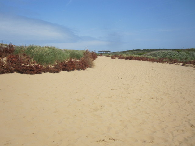
Nicotine Path - Christmas trees used to combat erosion
 Map © Crown Copyright")
TIP: Click the map for more Large scale mapping
- Grid Square
- SD2707, 91 images (more nearby 🔍)
- Photographer
- Alan Heardman (more nearby)
- Date Taken
- Sunday, 7 July, 2013 (more nearby)
- Submitted
- Wednesday, 10 July, 2013
- Subject Location
-
OSGB36:
 SD 2721 0777 [10m precision]
WGS84: 53:33.6886N 3:6.0240W - Camera Location
-
OSGB36: SD 2719 0772
- View Direction
- North-northeast (about 22 degrees)