2013
NN2402 : Coilessan Glen slopes of The Brack
taken 11 years ago, 3 km from Ardgartan, Argyll And Bute, Scotland
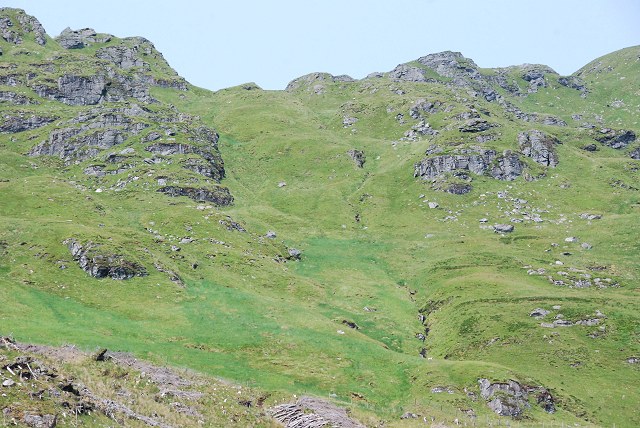
Coilessan Glen slopes of The Brack
The burn draining this section provides a direct route for the descent back into Coilessan Glen.
 Map © Crown Copyright")
TIP: Click the map for more Large scale mapping
- Grid Square
- NN2402, 22 images (more nearby 🔍)
- Photographer
- Patrick Mackie (more nearby)
- Date Taken
- Saturday, 13 July, 2013 (more nearby)
- Submitted
- Sunday, 14 July, 2013
- Subject Location
-
OSGB36:
 NN 2408 0248 [10m precision]
WGS84: 56:10.9420N 4:50.1594W - Camera Location
-
OSGB36: NN 2381 0184
- View Direction
- North-northeast (about 22 degrees)