2013
ND4687 : Above Clett of Crura
taken 11 years ago, near to Linklater, Mainland, Orkney Islands, Scotland
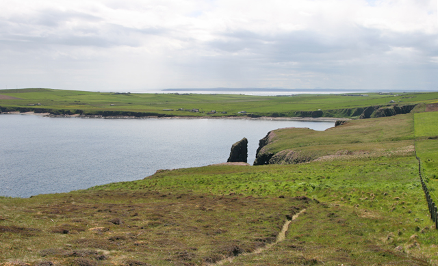
Above Clett of Crura
The cliff top path is visible in this photograph which extends across the land mass of South Ronaldsay to the Pentland Firth.
 Map © Crown Copyright")
TIP: Click the map for more Large scale mapping
- Grid Square
- ND4687, 6 images (more nearby 🔍)
- Photographer
- Christine Church (more nearby)
- Contributed by
- Peter Church (more nearby)
- Date Taken
- Friday, 14 June, 2013 (more nearby)
- Submitted
- Wednesday, 17 July, 2013
- Subject Location
-
OSGB36:
 ND 4609 8748 [10m precision]
WGS84: 58:46.2921N 2:56.0334W - Camera Location
-
OSGB36: ND 4616 8756
- View Direction
- Southwest (about 225 degrees)