2013
NY9772 : Farmland north of Redhouse Burn
taken 11 years ago, near to Bingfield, Northumberland, England
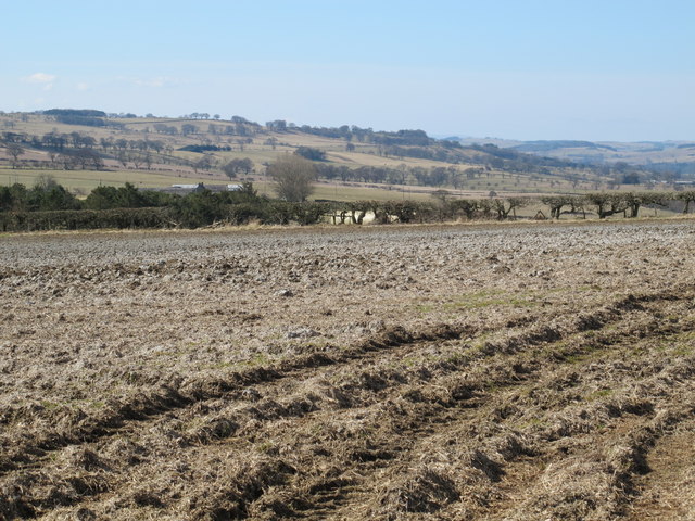
Farmland north of Redhouse Burn
 Map © Crown Copyright")
TIP: Click the map for more Large scale mapping
- Grid Square
- NY9772, 28 images (more nearby 🔍)
- Photographer
- Mike Quinn (more nearby)
- Date Taken
- Saturday, 6 April, 2013 (more nearby)
- Submitted
- Wednesday, 24 July, 2013
- Subject Location
-
OSGB36:
 NY 9777 7202 [10m precision]
WGS84: 55:2.5609N 2:2.1859W - Camera Location
-
OSGB36: NY 97890 72095
- View Direction
- West-southwest (about 247 degrees)